

Mapping the Uncharted: LiDAR in Northern BC’s Old-Growth Forests
30km² Drone LiDAR Project
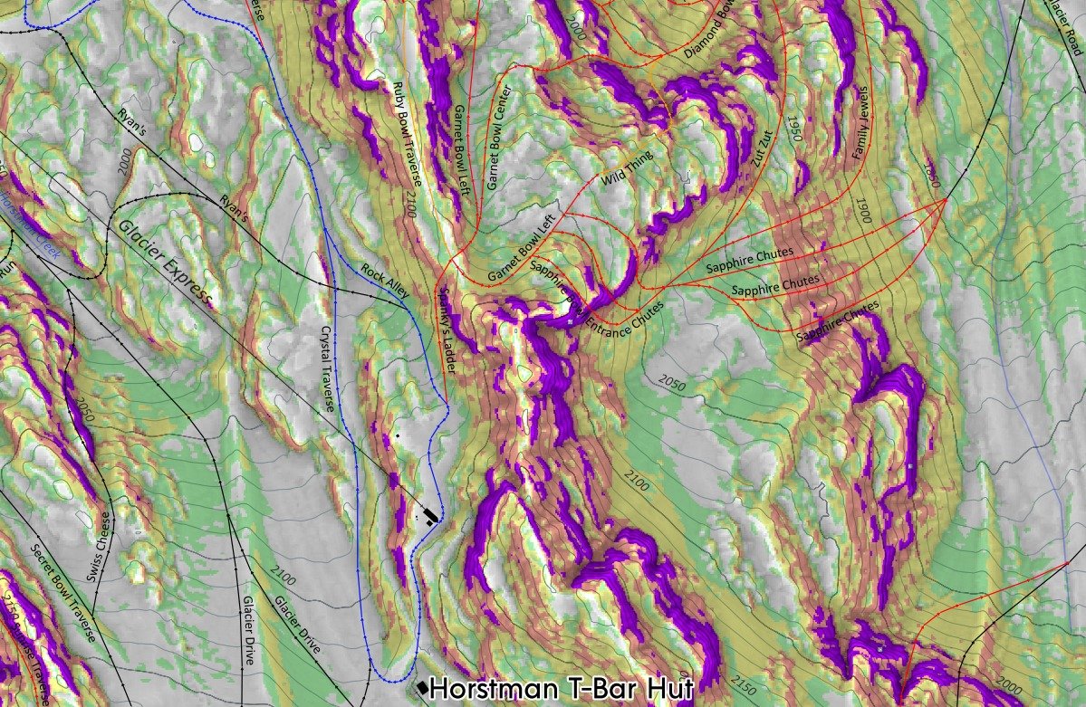
A new way to see Whistler Blackcomb; LiDAR Maps improve terrain resolution
The first slope terrain map for whistler blackcomb and surrounding area using LiDAR data

Surveying Unstable Ground: Restoring Accuracy in Mine Subsidence
High precision, large scale control network adjustment and land deformation monitoring analysis